
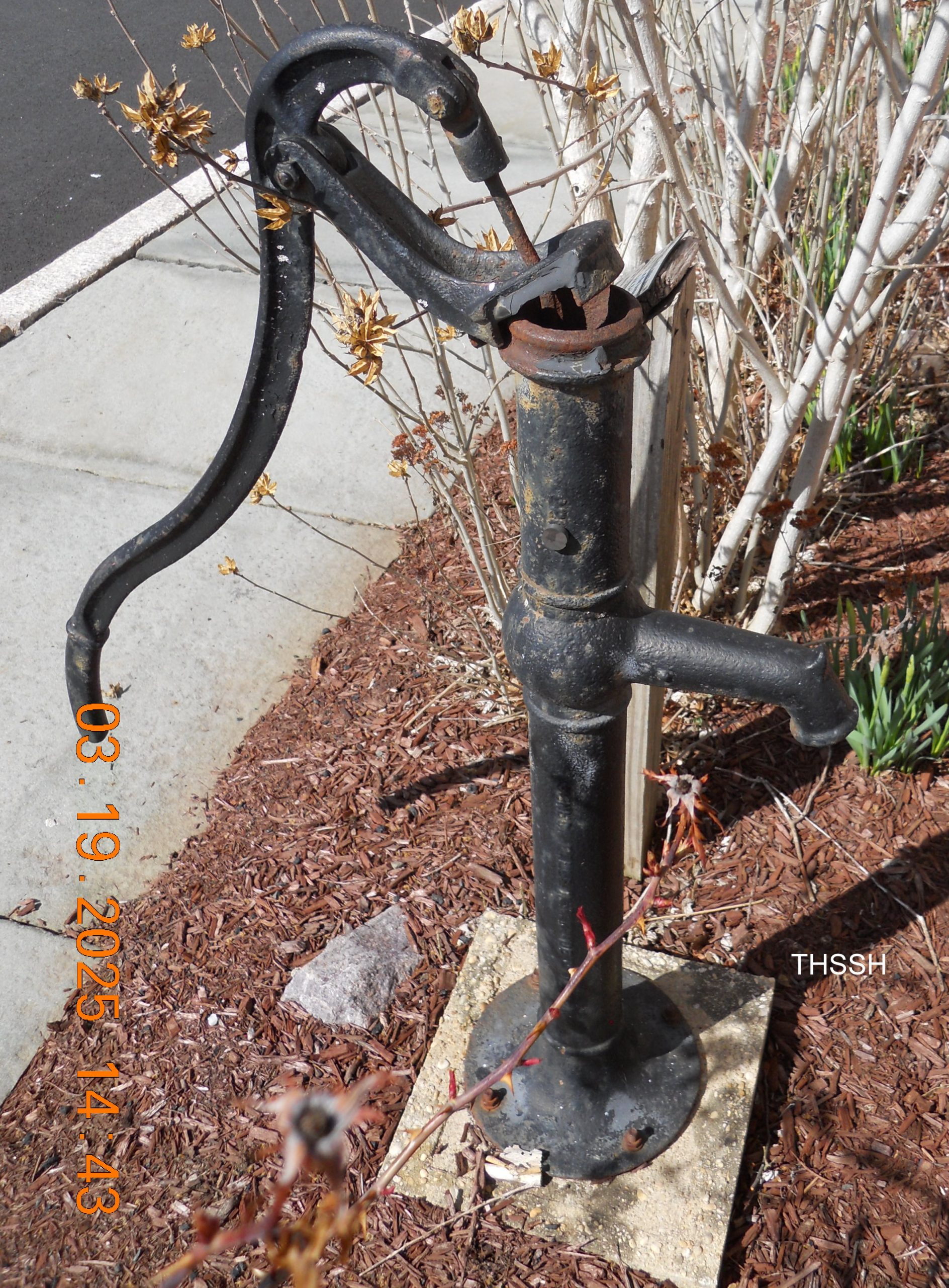
Bedminster Water Main Break 1948
Next time you visit THSSH headquarters at the Brick Academy in Basking Ridge, NJ, stop outside to view the old hand water pump. The pump, which dates to the 19th century, belonged to Dr. Frank L. Field (1870-1962) and helped Bedminster village survive a water crisis. On April 26, 1948, a river cleanup crew severed
... Learn more
David Y. Moore House, Basking Ridge, NJ
A real picture postcard mailed Sept. 10, 1907 shows Spring Vale, the home of David Y. Moore (1872-1957). Moore was Basking Ridge’s last blacksmith and his house still stands at 58 North Finley Avenue, corner of West Craig. Moore’s blacksmith shop stood at the corner of Dayton St. and North Finley, and was razed in
... Learn more
Far Hills Postcard, 1909
A postcard of Main Street (now U.S. Route 202), Far Hills, NJ, looking south toward the Raritan River bridge. The site was later occupied by L. V. Ludlow hardware and lumber complex. The note on reverse is dated December 16, 1909. Printed on reverse:No. B545 Published by Harry E. Lamerson, Far Hills, N.J.Made in GermanyExcelsiorA
... Learn more
Bernards Township Public Works – 1948
Archive staff recently found this classic photo of old Bernards Township Public Works equipment. An unknown photographer snapped the photo on Sept. 24, 1948, behind the old Maple Avenue School in Basking Ridge, NJ. The small dump truck and Galion roller both bear the lettering “Bernards Township” on their sides. A young boy sits on
... Learn more
Update on Reuben Freeman of Liberty Corner, NJ
Additional information has surfaced on Reuben Freeman (1827-1912) who was profiled in the May 2024 THSSH Newsletter (scroll to page 3). Reuben was the free black man, born to slave parents in Liberty Corner, who was required by law to work for William Annin (1790-1872) until he reached age 25 around 1852. After that date,
... Learn more
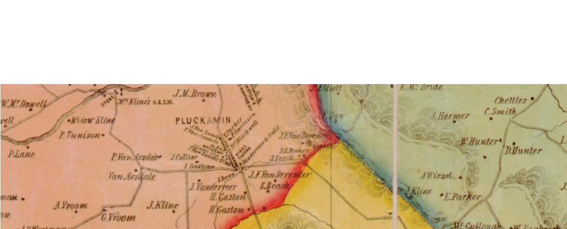
Boylan House, Pluckemin, NJ
The February 2025 THSSH Newsletter features a new article by Cynthia Crosson on the Boylan House along Route 202-206 in Pluckemin (see February Newsletter, scroll to Page 4). Dating to 1751, the house was the home of John Boylan and his family when the village was occupied by the Continental troops of generals George Washington
... Learn more
VNA Annual Report 1919
A prior posting detailed the efforts of the Visiting Nurse Association (VNA) of Somerset Hills to set up an emergency hospital in Bernardsville during the Influenza Epidemic of 1918-19. The full VNA Annual Report for 1919 is now available (click HERE) in the THSSH Online Archives. The report lists hundreds of names, including officers, trustees,
... Learn more
Kate Macy Ladd Cookbook
A cookbook compiled by staff and guests at the Kate Macy Ladd Convalescent Home (Natirar) is currently on display at the Brick Academy in Basking Ridge, NJ. Could your relative’s recipe be among the 88 pages? The names of the contributors are indexed at THSSH Online Collections. Check the index to see if this cookbook
... Learn more
Bernardsville’s Emergency Flu Hospital 1918
In 1918 with World War I raging in Europe, the world suddenly faced a global influenza outbreak. New Jersey and the Somerset Hills were soon impacted and hospitals in Morristown and Somerville were crowded with seriously ill patients. Local organizations needed to step up to meet the public health emergency. In the Somerset Hills, the
... Learn more
Next Stop Basking Ridge: A Short History of the Basking Ridge Train Station
Rail service came to Basking Ridge in 1872 when the New Jersey West Line railroad (now NJ Transit) was extended from Summit, NJ. Back then, the line ended at Bernardsville and Basking Ridge was the next to last stop. The arrival of trains soon triggered a development boom on the northern side of the village.
... Learn more
My line is through their daughter Mary who married John Patrey, Jr.
What is your lineage from Jacob and Margaret? I descend from their son Peter.
Stephen Hunt is my 6th great grandfather and Margaret Hunt and Jacob Van Doren are my 5th great grandparents.
What an interesting article. I had no idea they had to do so much creative fundraising for the FD.
This article makes me so happy that the historical society was able to research this bottle that my Mother (Ingrid…