

Bedminster Reformed Church
The Bedminster Reformed Church was organized in 1758 and built three churches during its history. The second (photo left) was a wooden structure built in 1818. It stood facing south in the old cemetery on Route 202-206. After a new church was built on Main Street in Bedminster village in 1897 (currently Grace Chapel), the
... Learn more
Somerset Hills Airport
In 1932, Somerset Hills Airport was dedicated, and a commemorative envelope marked the occasion. Postmarked in Basking Ridge, NJ, it went airmail of course! The airport was located on the east side of South Maple Avenue at the corner of Lord Stirling Road. The facility was built on the former Walter E. Fenner (1885-1965) property.
... Learn more
Martha Bell, Post Office Horse
In the early years of the 20th century, mail was delivered in Basking Ridge by horse and cart. The inscription reads “ ‘Martha Bell’ after 6 years service on Route 1, Basking Ridge, NJ” (Nettie Allen Collection). The post office started experimenting with Rural Free Delivery (RFD) in the late 19th century and expanded it
... Learn more
Basking Ridge in Revolutionary Days
Passages from the memoir of Eliza Susan Morton Quincy (d. 1850) were reprinted in this memorable booklet by the Basking Ridge Historical Society (now The Historical Society of the Somerset Hills) for Bernards Township’s 200th anniversary in 1960. Eliza’s father, John Morton, brought his family to Basking Ridge in 1776 from New York City to
... Learn more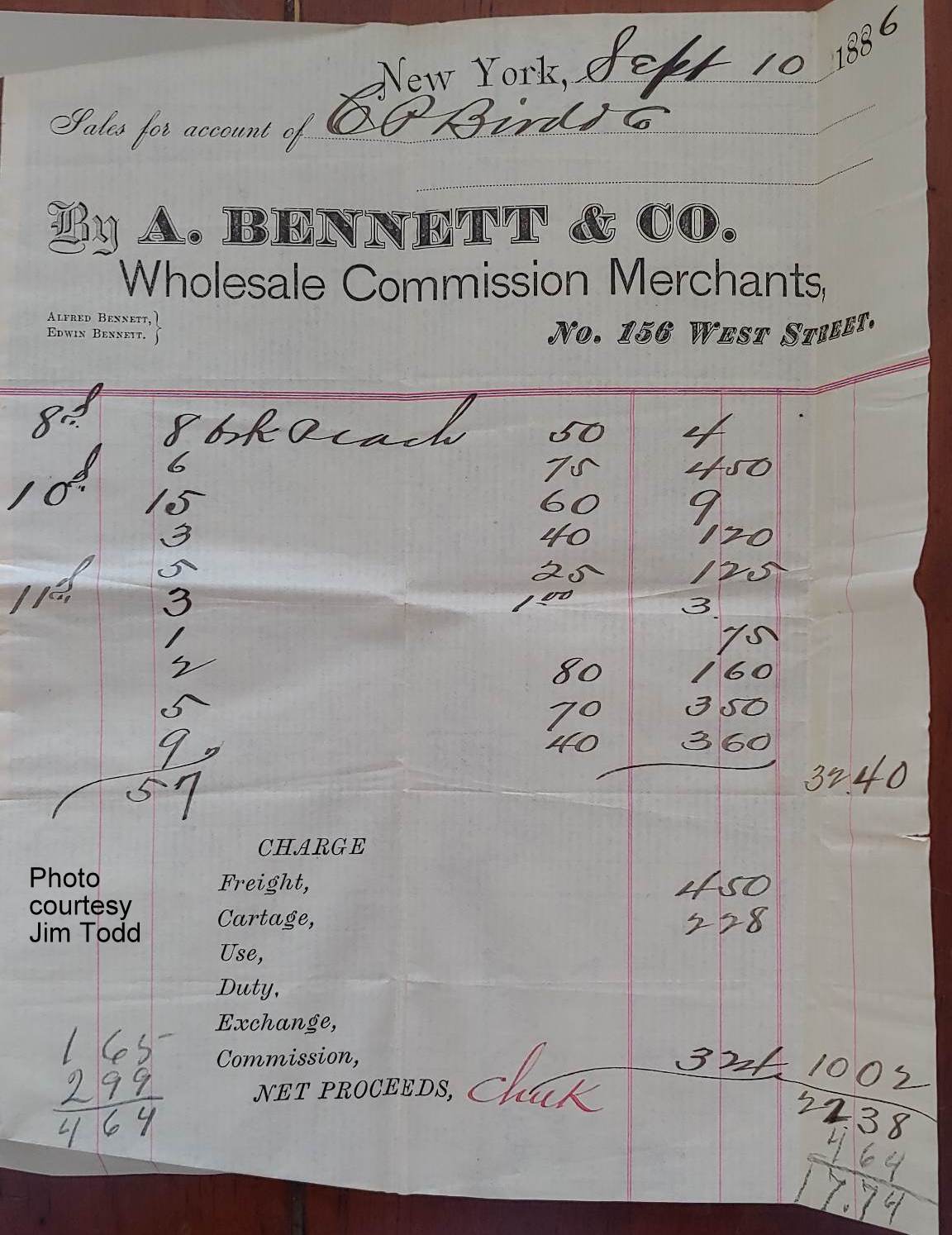
Somerset Hills Peaches, 1886
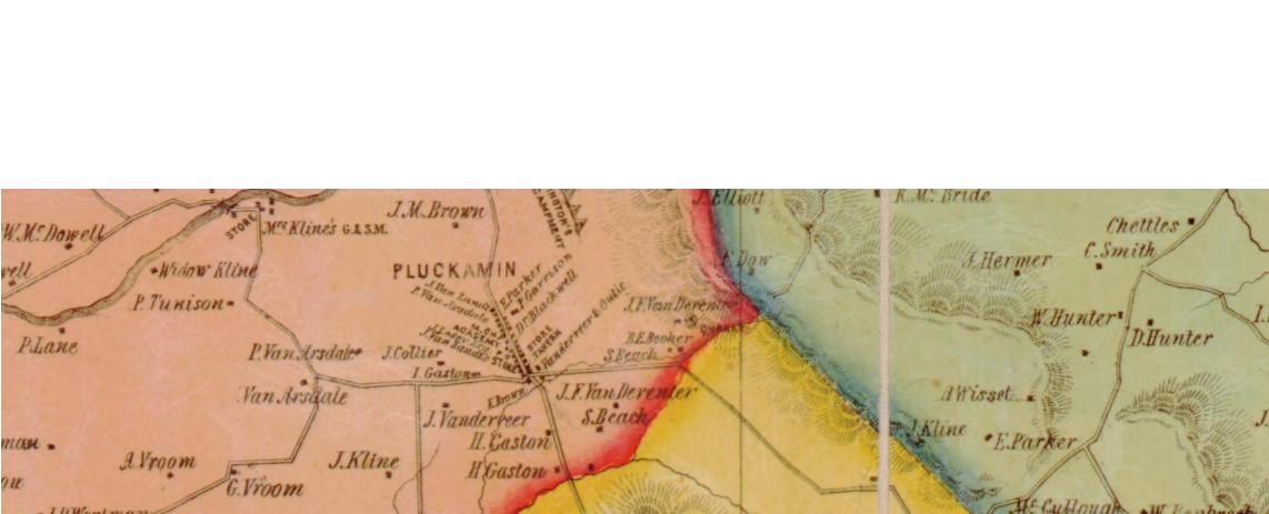
Peaches became a major cash crop in the Somerset Hills during the late 19th century. Farmers gained new markets with the arrival of the New Jersey West Line Railroad in Bernardsville (1872) and the Rockaway Valley Railroad in Pottersville and Gladstone (1889-90). Railroads were used to ship peaches and other commodities to cities all along
... Learn more
Sanborn Insurance Maps
Sanborn Fire Insurance maps provide a treasure trove of local historical information and may be accessed free on the Library of Congress website. Originally created to allow fire insurance companies to underwrite properties, the maps provide detailed historical views of many cities and towns. https://www.loc.gov/item/sanborn05418_002/ Olcott Square, Bernardsville, is shown on this 1909 map. There
... Learn more
Belcher Family
UPDATE Oct. 27, 2023: Descendant Found! A friend spotted this lost family on the discard pile after the VNA Rummage Sale in Far Hills. On the back, the photo is identified as the family of Malcolm Belcher (1887-1987), who was the longest serving mayor of Far Hills (1938-1965). The fairgrounds in Far Hills is named
... Learn more
Oak Stump Corner 1907
This 1907 photo shows the intersection of Mount Airy (Bernardsville Rd) and West Oak Street (Oak Stump Road). It appears to be taken from the Bernardsville side of the intersection where 161 Mount Airy now stands and shows (center) the old traffic triangle. More on the history of this intersection can be found in the
... Learn more
$15 each. Limited quantities.


Hello, I bet we are relatives, Was your father a descendant of Martha Ryan married to James Buckingham?
There are original drawings for the parish house that suggest future additions, changing its shape from a "T" to an…
Hi Nancy, It is nice to meet you. We are going to be in Pittsburgh, PA towards the last of…
Hello all, my name is Nancy Leight Malick. I also am a direct decendent of Johannes and Mariah Moelich, 8th…
My father, Cole Vanderbeek Nevius (born in 1916), and his siblings all attended this school! I’d love to know if…