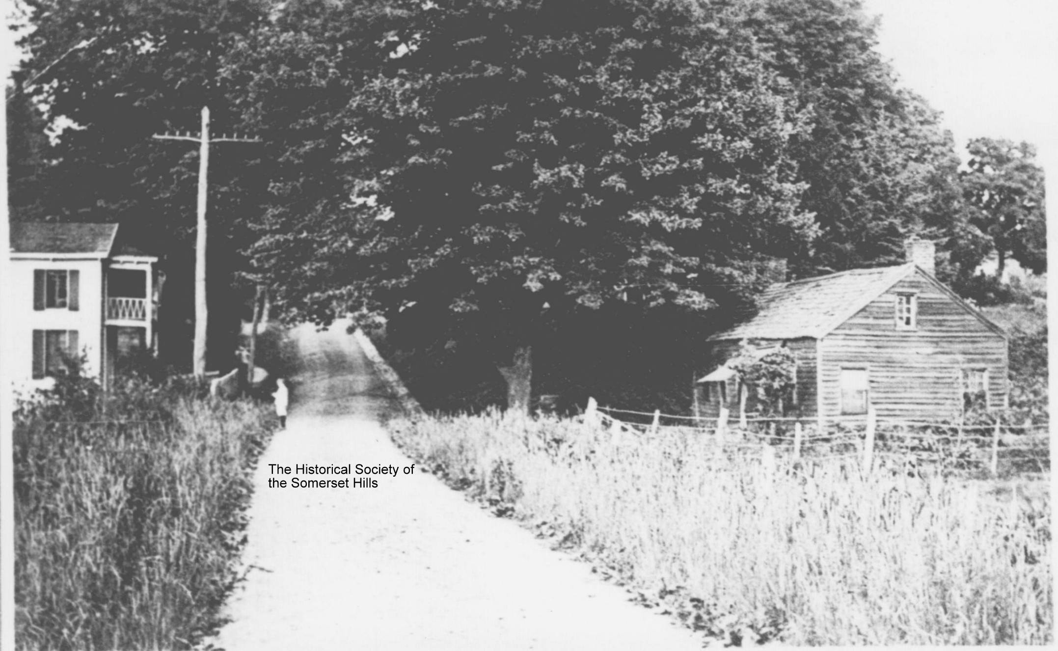
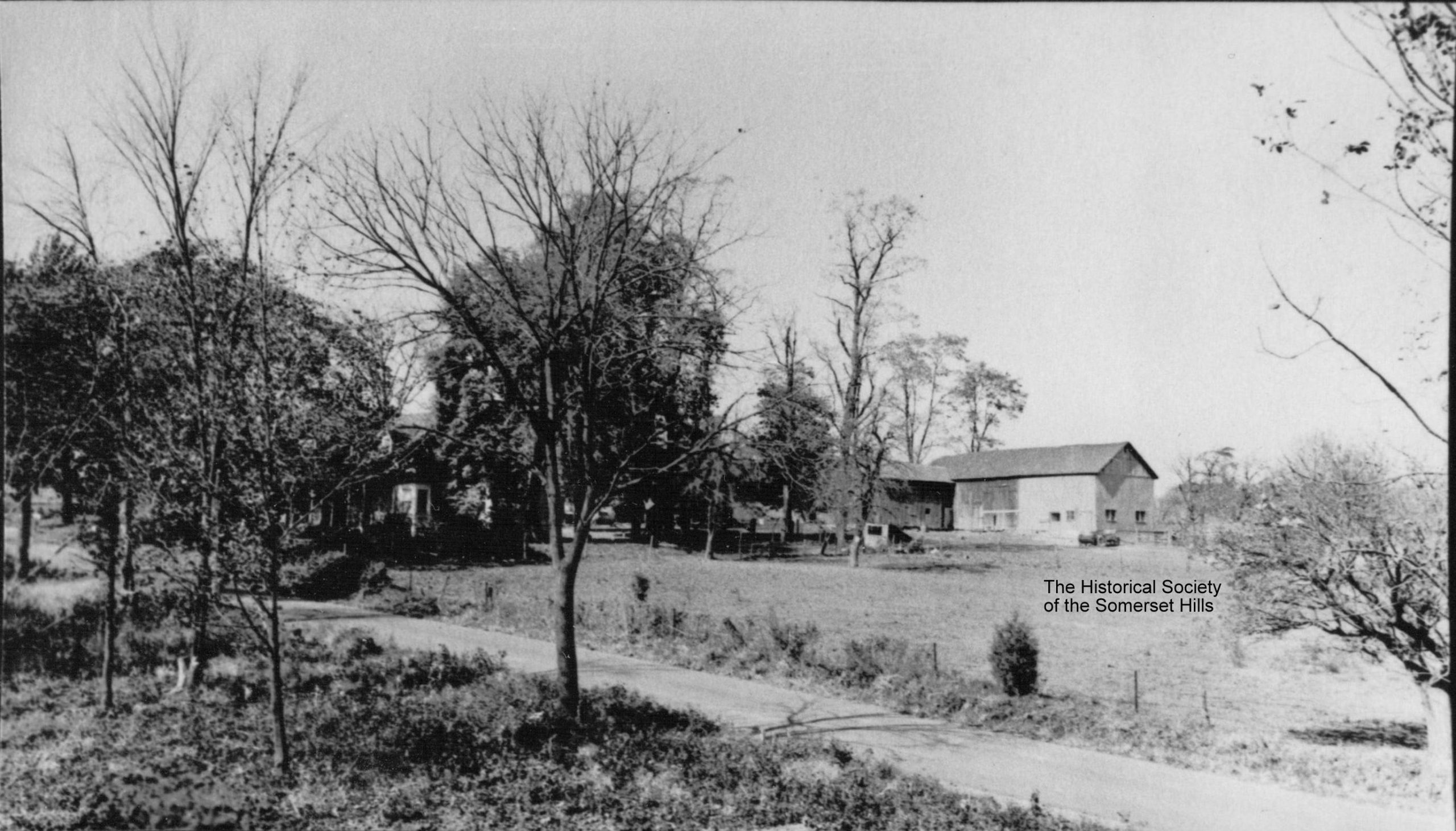
This pastoral scene is West Oak Street in 1910 going up the hill from present I-287 to Mount Airy Road. The farm was then known as the Courter Farm after its owner William Courter. The present Courter Street was named for the family. The large barn burned in the 1930s, but the farmhouse, built in
... Learn moreTag: West Oak Street
Oak Street School Construction
In 1938, construction workers were hard at work on Bernards Township’s newest school, Oak Street. These photos were taken November 21, 1938 by teacher Louise M. Flint (c.1889-1976) and preserved in her scrapbook. The title on the page reads “Basking Ridge School, West Oak Street.” Oak Street School was financed partially with an $80,000 grant
... Learn moreCard House
Basking Ridge lost a treasure when Interstate 287 came through the Somerset Hills. The Card House, dating to colonial times, stood on the north side of West Oak St., just to the east of Harrison’s Brook. In the early 1800s it was home to the family of Daniel Henry (1774-1850). Later occupants were the Card
... Learn moreTennis Court House
In 1900, a house stood where the tennis/pickleball courts now are on West Oak Street in Basking Ridge, NJ. This vintage photo looks east along West Oak and up the hill toward what is now Brownlee Place. On the 1873 Beers map of Somerset County, the house was shown as the property of Dr. Whitnall
... Learn moreOak Stump Corner 1907
This 1907 photo shows the intersection of Mount Airy (Bernardsville Rd) and West Oak Street (Oak Stump Road). It appears to be taken from the Bernardsville side of the intersection where 161 Mount Airy now stands and shows (center) the old traffic triangle. More on the history of this intersection can be found in the
... Learn more


