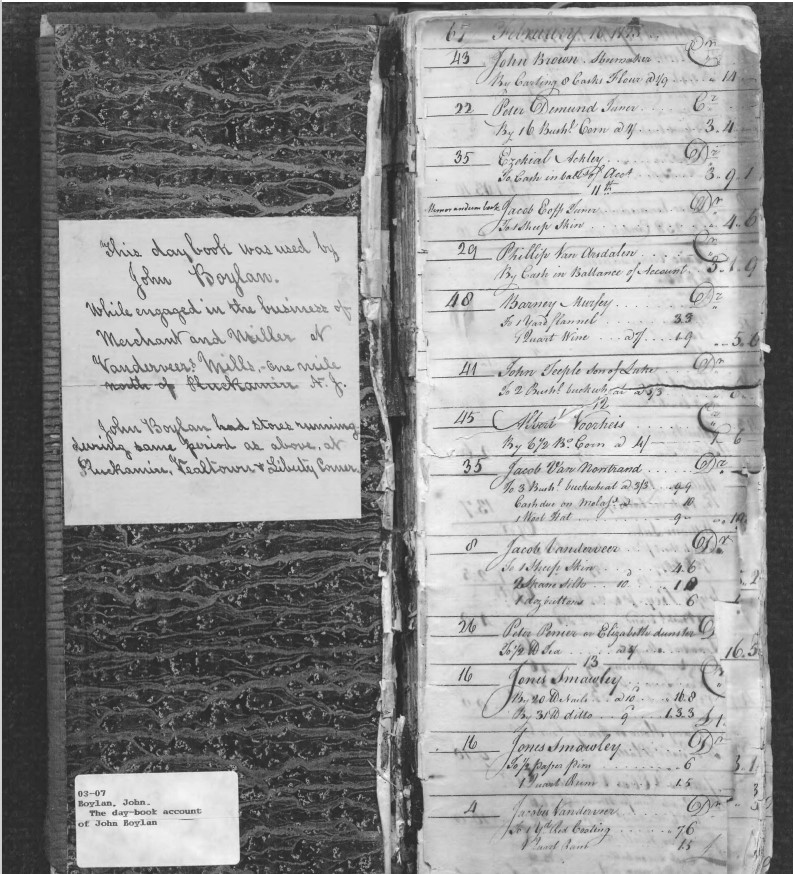
John Boylan, also known as Captain Bullion, was a natural businessman. He owned and operated in Pluckemin, NJ, the largest and most successful general store for miles around. Its patrons included Bedminster and Bernards township residents and those from many other communities. John also owned stores and taverns in Liberty Corner, Vealtown (now Bernardsville) and
... Learn moreTag: Maps
Bedminster Township Landholders, 1766
The 1766 map of Somerset County, NJ, by Benjamin Morgan and I. Hills shows many of the early landmarks and settlers of Bedminster Township. Bedminster at that time included the Borough of Peapack and Gladstone (created 1912). The surveyors paid close attention to the rivers and mills, which were key transportation and economic features.
... Learn moreBernards Township Landowners, 1766
Many of the early landowners of Bernards Township are shown on the Morgan-Hills map of Somerset County from 1766 (see section below). The surveyors spell the township “Barnards” and in 1766, it still had its original boundaries, which included Bernardsville, Far Hills, and Warren Township. The closeup below displays the northeastern portion of the township.
... Learn moreSixth Street
On June 26, 1944, architect Peter P. Dupay (1900-1985) obtained a building permit for an addition to a residence on Sixth Street in Basking Ridge.[1] But where was Sixth Street? And if Basking Ridge had a Sixth Street, where were First through Fifth? The answer is provided by an 1891 map[2] showing what was called
... Learn moreMount Vernon
Mount Vernon was the name of an area in northern Bernards Township (now the Borough of Bernardsville, NJ). It stretched from Lloyd Road, where there was a little settlement at the junction of Hardscrabble Road, north to the Mendham border. In the 1840s, a school called Mount Vernon School was built on the north side
... Learn moreMoggy Hollow
Driving east from Far Hills on Liberty Corner Road (before you get to I-287), the land drops off to the right into a deep gorge called Moggy Hollow. This was once, 19,000 to 14,000 years ago, the outlet to Lake Passaic, a 30-mile-long lake, created when the Wisconsin Glacier blocked the area’s natural drainage system.
... Learn moreThe History of Meeker Road
Meeker Road is generally straight, running from Route 202 in Bernardsville to Whitenack Road in Bernards Township, but the story of the street’s name took some twists and turns. The Simpson family lived on the road in the 1850s and at some point it was called Saunders Road, apparently after another family. In 1872, Stephen
... Learn moreSanborn Insurance Maps
Sanborn Fire Insurance maps provide a treasure trove of local historical information and may be accessed free on the Library of Congress website. Originally created to allow fire insurance companies to underwrite properties, the maps provide detailed historical views of many cities and towns. https://www.loc.gov/item/sanborn05418_002/ Olcott Square, Bernardsville, is shown on this 1909 map. There
... Learn more